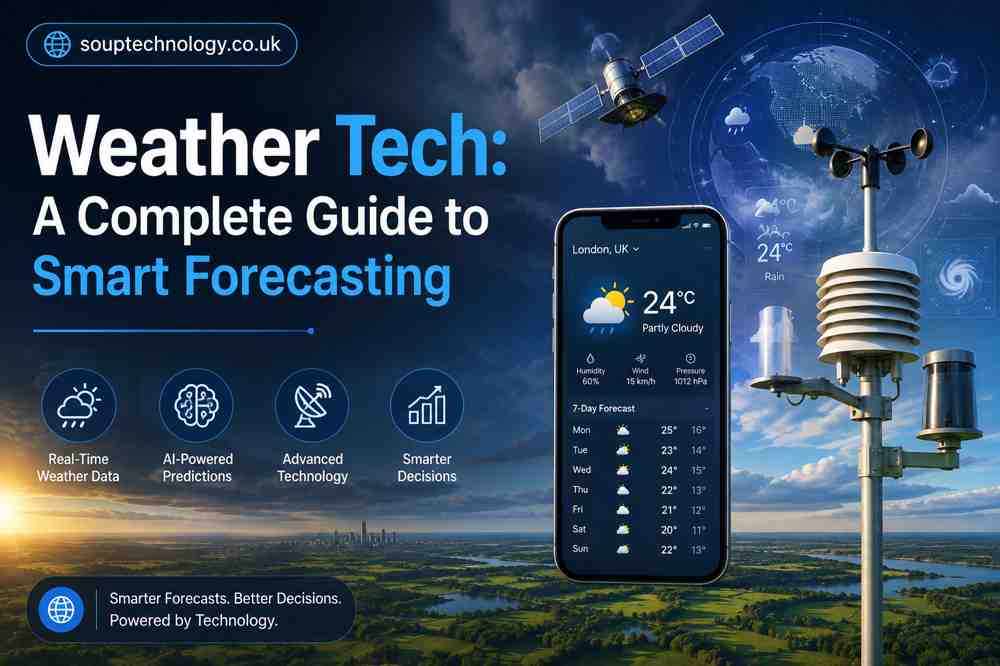
Weather Tech: A Complete Guide to Smart Forecasting
What Is Weather Tech?
Weather tech is the set of tools and systems — satellites, radar, sensors, and software — used to observe and predict weather. It matters because accurate forecasts save lives (storm warnings), save money (business planning), and help everyday decisions like whether to carry an umbrella.
How Does Weather Technology Work?
- Satellites — track large-scale systems like hurricanes from space.
- Radar — detects rain, snow, and hail, and shows how fast a storm is moving.
- Sensors — measure temperature, humidity, wind, and pressure on the ground, at sea, and in the air.
- AI/machine learning — finds patterns in huge datasets to sharpen predictions.
Key Technologies in Forecasting
- Doppler radar (spots tornadoes early)
- Weather satellites (wide-area and detailed views)
- IoT sensors (constant real-time data)
- Supercomputers (run complex simulations)
- Numerical weather models (predict atmospheric behavior mathematically)
Benefits of Weather Tech
- More accurate short-term forecasts
- Early warning systems for storms and floods
- Better disaster management and evacuation planning
- Smarter planning for businesses and individuals
Where It’s Used
Agriculture, aviation, marine transportation, construction, renewable energy, and smart cities all depend on weather data to make daily operational decisions — from flight routing to irrigation timing.
How AI Is Changing Forecasting
- Faster processing of forecast data
- Hyperlocal, block-by-block predictions
- Earlier detection of extreme weather events (e.g., rapid hurricane intensification)
Challenges & Limitations
- Forecasts get less reliable beyond a week out
- Climate change is making historical data less predictive
- Satellites and supercomputers are expensive to build/maintain
- Gaps in sensor coverage (especially oceans) hurt accuracy
Future Trends
- AI-powered forecasting models
- “Digital twin” simulations of Earth’s systems
- Drones monitoring storms directly
- Quantum computing (early stage)
- Next-gen satellites with faster, sharper data
Best Weather Apps
- AccuWeather — detailed, minute-by-minute forecasts
- The Weather Channel — strong severe weather coverage
- Windy — great for wind/marine/aviation use
- Weather Underground — hyperlocal, crowd-sourced data
- Tomorrow.io — API access, built for business use
How to Choose the Right Tool
Look for: accuracy in your region, real-time updates, ease of use, and industry-specific features if you have specialized needs (farming, flying, logistics, etc.).
Quick FAQ
- What is weather tech? Tools/systems that observe and predict weather.
- How accurate is it? Very reliable for 1–3 days; less so further out.
- AI’s role? Faster, more localized, more precise forecasts.
- Who benefits most? Agriculture, aviation, marine, construction, energy.
- What’s next? More AI, hyperlocal data, drones, digital twins.
Conclusion
Weather tech quietly shapes daily decisions everywhere — from flights to farms. As AI, drones, and next-gen satellites mature, forecasts will keep getting faster and more precise.